
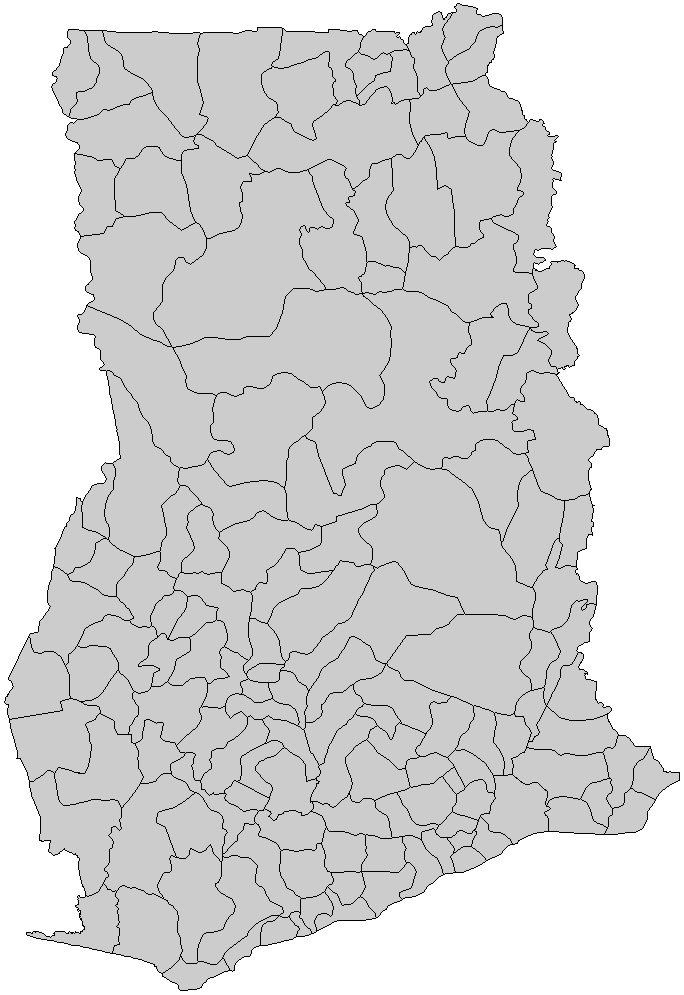
File:Ghana districts.png
Dis preview ein size: 412 × 599 pixels. Oda resolutions: 165 × 240 pixels | 330 × 480 pixels | 684 × 995 pixels.
Original file (684 × 995 pixels, file size: 27 KB, MIME type: image/png)
Summary
| Source | from en:Wikipedia, Districts of Ghana | ||
| Permission (Reusing dis file) |
I, the creator of this work, hereby release it into the public domain. This applies worldwide. In case this is not legally possible, I grant any entity the right to use this work for any purpose, without any conditions, unless such conditions are required by law. |
||
| Georeferencing | If inappropriate please set warp_status = skip to hide. | ||
| Other versions |
|

File history
Legend: (cur) = this is the current file, (del) = delete this old version, (rev) = revert to this old version. Click on date to download the file or see the image uploaded on that date.
   * (del) (cur) 06:47, 5 March 2006 . . Rarelibra (Talk | contribs) . . 816x1056 (30,638 bytes) (Map of the districts of Ghana. Created by Rarelibra for public domain use. Created using MapInfo Professional v7.5 and various mapping resources.)
   * Edit this file using an external application
Licensing
| I, the copyright holder of this work, release this work into the public domain. This applies worldwide. In some countries this may not be legally possible; if so: I grant anyone the right to use this work for any purpose, without any conditions, unless such conditions are required by law. |
derivative works
Derivative works of this file:
File history
Click date/time top so say you go view de file as e appear for dat time.
| Date/Time | Thumbnail | Dimensions | User | Comment | |
|---|---|---|---|---|---|
| current | 21:09, 27 November 2019 | | 684 × 995 (27 KB) | Aréat | Classic map, no need for colors. This show the limits, and there no enclave |
| 09:07, 27 September 2013 |  | 684 × 995 (58 KB) | Androl | four colours, black lines | |
| 09:18, 5 August 2010 |  | 684 × 995 (32 KB) | Kleinstein95 | removed white edge | |
| 09:55, 2 August 2009 |  | 684 × 995 (49 KB) | Kleinstein95 | new version without edge; coloured | |
| 20:22, 24 June 2006 |  | 816 × 1,056 (30 KB) | Ahanta | from en:Wikipedia, districts of ghana I, the creator of this work, hereby release it into the public domain. This applies worldwide. In case this is not legally possible, I grant any entity the right to use this work for any purpose, without any condition |
File usage
De following page uses dis file:
Global file usage
De following oda wikis dey use dis file:
- Usage for dag.wikipedia.org top
- Usage for de.wikipedia.org top
- Usage for en.wikipedia.org top
- Usage for es.wikipedia.org top
- Usage for fr.wikipedia.org top
- Usage for ha.wikipedia.org top
- Usage for ja.wikipedia.org top
- Usage for la.wikipedia.org top
- Usage for pl.wikipedia.org top
- Usage for pt.wikipedia.org top
- Usage for uk.wikipedia.org top
- Usage for www.wikidata.org top
- Usage for yo.wikipedia.org top